Accurate altitude control is essential for many UAV applications. Whether drones are used for agricultural spraying, infrastructure inspection, mapping, or environmental monitoring, maintaining the correct height above the ground is critical for safety and operational efficiency.
To achieve reliable drone height measurement, many UAV platforms rely on LiDAR sensors rather than GPS or barometric readings alone. A downward-facing Benewake rangefinder provides real-time distance measurements between the drone and the terrain below, enabling the flight controller to adjust altitude dynamically.
However, simply installing a LiDAR sensor does not automatically guarantee accurate results. Engineers and drone operators must understand how to interpret sensor data and verify that the measurements reflect real flight conditions. By analyzing data behavior, installation quality, and environmental effects, it is possible to ensure that LiDAR-based altitude sensing performs reliably in real-world missions.
Why LiDAR Is Important for Drone Height Measurement
Traditional altitude measurement methods often rely on GPS positioning or barometric pressure sensors. While these technologies are useful for general navigation, they measure altitude relative to sea level rather than the actual ground surface.
In contrast, LiDAR sensors measure the true distance between the drone and the terrain. The sensor emits a laser pulse downward, then calculates the distance by measuring the time it takes for the reflected light to return to the receiver. This time-of-flight measurement allows drones to determine their exact height above ground level.
This capability is especially important when drones operate at low altitudes or over uneven terrain. In agriculture, for example, spraying drones must maintain a consistent height above crops to ensure uniform chemical distribution. Accurate drone height measurement helps maintain that consistency even when the ground elevation changes.
Because of this advantage, LiDAR modules have become a standard component in advanced UAV altitude sensing systems.
Understanding Typical LiDAR Data Behavior
When analyzing drone sensor logs, it is important to recognize what normal LiDAR measurement data should look like.
During stable flight over flat terrain, the measured distance should remain relatively consistent. Minor fluctuations are normal due to vibration or small environmental changes, but the data should generally follow a smooth pattern.
When the drone climbs or descends, the LiDAR distance readings should change gradually. If the aircraft approaches the ground, the reported distance should decrease steadily. Conversely, when the drone gains altitude, the measured value should increase accordingly.
Abnormal patterns can indicate potential issues. Examples include:
Sudden spikes in distance values
Large fluctuations while hovering
Inconsistent readings during stable flight
Such irregularities may suggest interference, sensor misalignment, or incorrect configuration.
By carefully reviewing these patterns, engineers can determine whether the Benewake rangefinder is operating correctly.
Verifying Sensor Installation and Orientation
One of the most common reasons for inaccurate LiDAR readings is improper sensor installation. Even a high-precision sensor cannot produce reliable results if it is incorrectly positioned.
For drone altitude measurement, the LiDAR sensor should be mounted on the underside of the UAV with the laser beam pointing directly toward the ground. If the sensor is tilted or blocked by structural components, the measured distance may not represent the drone’s true height.
Several installation factors should be checked:
Vertical alignment: The sensor should face directly downward.
Clear field of view: Landing gear or drone frames should not obstruct the laser path.
Vibration isolation: Excessive motor vibration can introduce noise into sensor readings.
Proper mounting significantly improves measurement stability and ensures that drone height measurement remains accurate throughout flight operations.
Cross-Checking LiDAR Data with Other Sensors
Another effective approach to verifying altitude accuracy is comparing LiDAR measurements with data from other onboard sensors.
For example, while GPS altitude may not provide precise ground distance, it can still indicate whether the drone is generally climbing or descending. If both the LiDAR sensor and GPS readings show the same altitude trend, it suggests that the system is functioning properly.
Similarly, barometric sensors can provide relative altitude changes during flight. Cross-checking these values with LiDAR measurements helps identify inconsistencies and detect possible errors in the altitude sensing system.
This multi-sensor validation process improves confidence in the drone’s height measurement data and helps prevent flight control problems caused by incorrect readings.
Environmental Factors That Influence LiDAR Measurements
Although LiDAR sensors are designed for outdoor environments, certain conditions may still affect measurement accuracy.
Environmental factors that can influence readings include:
Dust or airborne particles
Rain or fog
Highly reflective or absorbent surfaces
Strong sunlight interference
Advanced LiDAR systems incorporate signal filtering algorithms that help reduce measurement noise caused by these conditions. In many cases, these algorithms allow the sensor to maintain stable distance detection even in challenging environments.
Testing UAV systems under different weather and terrain conditions is an effective way to evaluate sensor reliability before deployment.
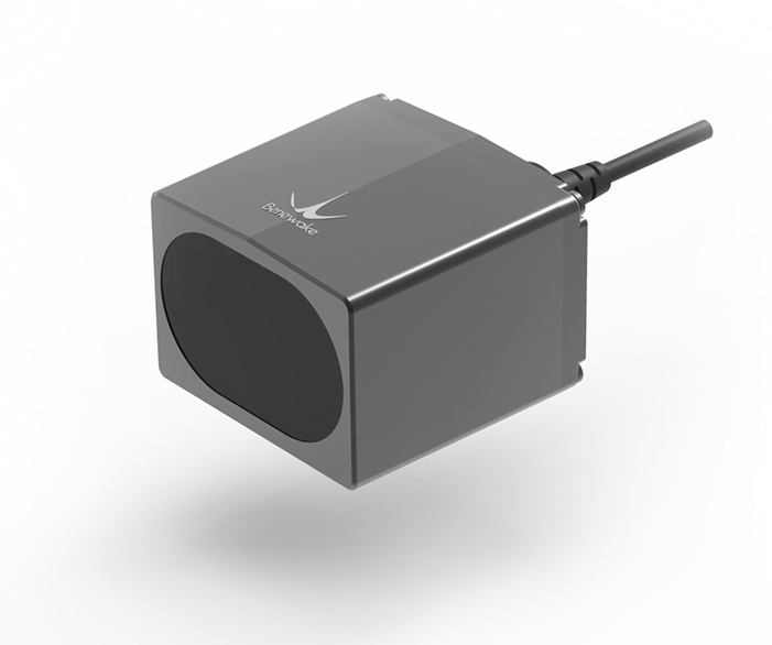
Benewake LiDAR Sensors for UAV Altitude Sensing
According to UAV application information from Benewake, LiDAR sensors are commonly integrated into drones using a downward-mounted configuration. This setup allows the aircraft to track terrain variations and maintain optimal flight height for tasks such as agriculture, surveying, and inspection.
Several LiDAR modules are commonly used in UAV systems:
TFmini Plus – A compact sensor designed for lightweight drones. It offers a detection range of 0.1–12 meters, adjustable frame rates from 1 to 100 Hz, and power consumption of approximately 550 mW. With a weight of about 12 g, it is well suited for small UAV platforms and supports UART and I²C communication interfaces.
TF02-Pro – Designed for longer detection ranges, this module supports distances from 0.1 to 40 meters with output frequencies up to 1000 Hz. It consumes less than 1 W of power and weighs about 50 g, making it suitable for industrial drone applications.
TF03 – For applications requiring extended sensing capability, this sensor supports measurements from 0.1 to 180 meters and output rates up to 7 kHz. It also offers multiple interface options, including UART, CAN, RS485, and RS232.
These sensors are designed to provide centimeter-level measurement accuracy, fast response speeds, and reliable performance even in outdoor environments. Their compact form factors and lightweight designs make them practical solutions for UAV systems that require stable drone height measurement.
Conclusion
Accurate altitude sensing is a critical factor in UAV safety and performance. LiDAR sensors provide a direct and reliable way to measure the distance between a drone and the ground, enabling stable flight and effective terrain awareness.
By carefully interpreting sensor data, verifying installation quality, and testing systems in real operating environments, developers can ensure that their UAV platforms maintain precise altitude control. Proper integration of LiDAR sensors allows drones to respond smoothly to terrain changes, improving operational safety and efficiency.
For engineers and UAV developers looking to enhance drone height measurement capabilities, LiDAR sensors from Benewake provide a practical and reliable solution. Compact models such as TFmini Plus, along with longer-range options like TF02-Pro and TF03, offer flexible performance choices for different UAV platforms.
